Save the Date for UGIC 2019

UGIC MAY 2019 The UGIC Board is pleased to announce that our 2019 conference will be held May 6 – 10, 2019 at the Zermatt Resort in Midway, Utah.  We’re working to make this the best UGIC conference yet!  Save the date on your calendar, and stay tuned for more info in the coming weeks and months. … Read more

Reflections on the 2017 NSGIC Midyear Meeting

NSGIC’s State Caucus Meeting

Annapolis, MD: Josh Groeneveld and Kasey Hansen (UGIC Board Members)

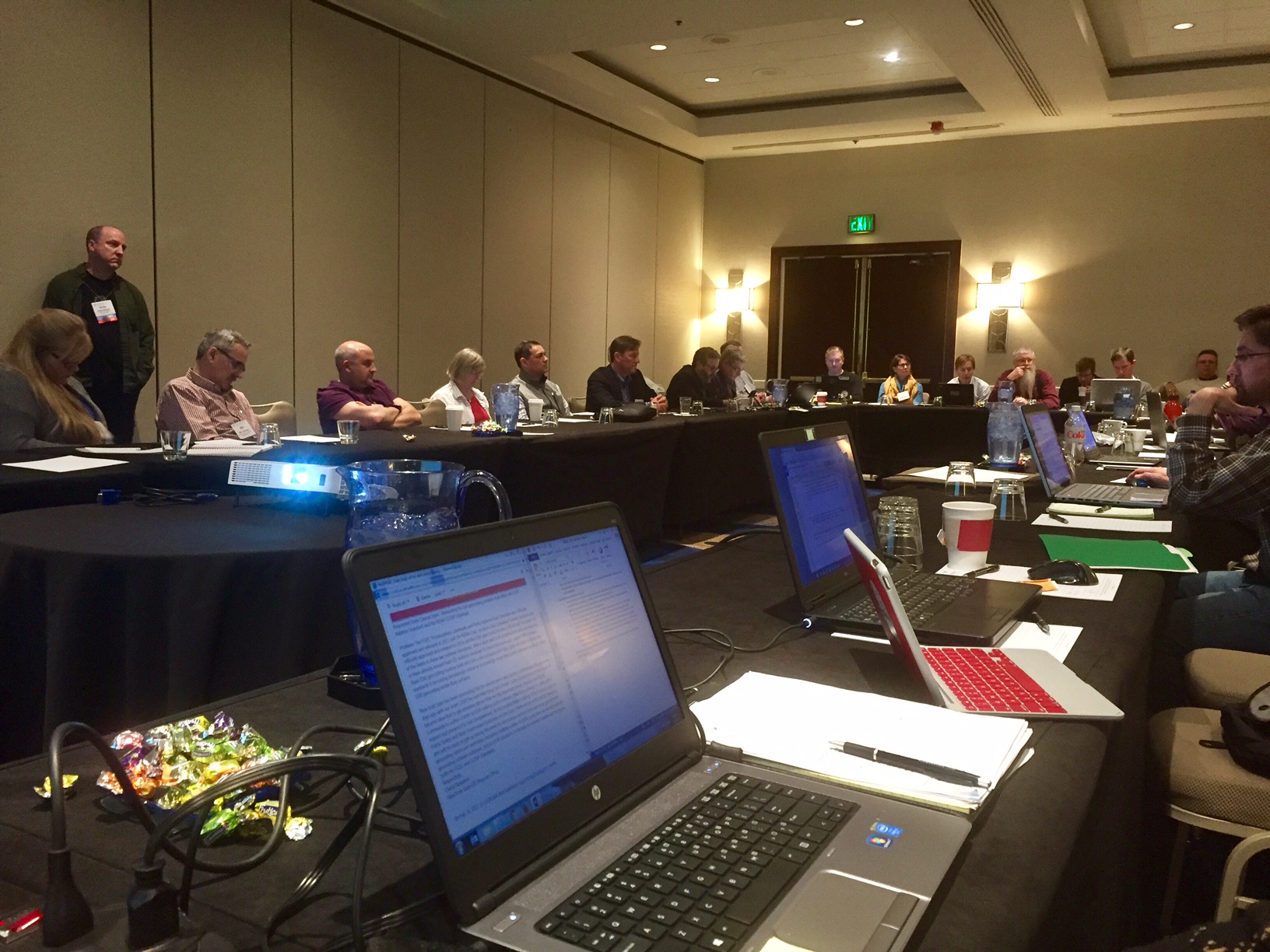
The National States Geographic Information Council (NSGIC) held its Midyear Meeting in Annapolis, MD from February 27th – March 2nd.  Representatives from 27 states and the District of Columbia were in attendance to collaborate, share best practices and learn about the latest geospatial advancements, particularly in the federal space.  

NSGIC promotes the philosophy of “make it once, use it a bunch”.  There is so much value to all involved in terms of time and effort saved if we can share existing solutions and best practices.  When we have to explain what GIS is to a non-professional, we often hear things like, “Hasn’t everything already been mapped?”  

Not at all!  It was apparent at the Midyear Meeting that there are still challenges creating data in a timely fashion and sharing it with stakeholders across all levels of government. Many national data programs have been implemented for the purpose of addressing these challenges. For first-timers at NSGIC, the sheer number of programs can feel a little overwhelming (not to mention the abundance of federal acronyms!), however the purpose and goal of each program was discussed thoroughly at the meeting.  Even so, while many GIS professionals may be willing to share data, some are under legal constraints to not share data because of privacy concerns.  There are also concerns of some “shared” datasets where the authoritative agency can submit their data into a database and then never see the resulting product.  Some of the hot-button topics at the meeting were Next-Generation 911, the USGS 3D Elevation Program (3DEP), open data, and the GIS Inventory.  

Read more

Maps on the Hill 2017 Recap

Thank you to everyone who participated in Maps on the Hill 2017! It was a great day for the GIS community to participate in telling the story of how geospatial technology can improve efficiency, support decisions, and communicate complex topics. Be sure to check out the photos of the event and Maps on the Hill 2017 Book. AGRC also compiled a video of the event being announced on the house and senate floors (along with great praise), and a time lapse of the morning.

In an effort to reward the best work at Maps on the Hill, a judged contest was added to this year’s event in the capitol rotunda. Recognition and small prizes (Utah AGRC wall maps and ESRI press books) were awarded to the map displays that best conveyed the value of GIS-based solutions.

A four judge panel, consisting of Beth Overhuls (Salt Lake County CIO), Evan Curtis (Governor’s Office of Management and Budget), Lance Newman (Dean, Westminster College Arts & Sciences), and Mike Hussey (State CIO), rated the map displays for overall effectiveness, visual appeal, data integration, and innovation.


This year’s winners are:

UGIC 2017 Maps on the Hill – Best of Show

  • Division of Forestry Fire and State Lands (FFSL) – Wildfire Risk (11*)

UGIC 2017 Maps on the Hill – Awards of Excellence

  • City of West Jordan – Sewer and Sidewalk Infrastructure (18, 31)
  • Division of Wildlife Resources – Wildlife Tracking (10,41)
  • Salt Lake City Public Utilities – Infrastructure Mapping (26-28)
  • Utah State Remote Sensing/GIS Lab – Sage Grouse Habitat (13,36)

Read more

The Cool Kids

Be like the cool kids… come to Maps on the Hill 2017. Where: Capitol Rotunda (350 State Street, Salt Lake City, Utah) When: Wednesday January 25th, 2017 from 10:00am to 1:00pm Why: Even if you didn’t register a presentation for Maps on the Hill, if you are interested in the Utah geospatial community it is … Read more

ESRI UC 2016

Many UGIC members make the trip to San Diego each summer to attend the ESRI International Users Conference.  This year was no different as Utah was well represented at the UC.

A few major themes coming out of the conference included:

  • 3D GIS – 3D is becoming mainstream functionality within ESRI’s products.  From desktop software and analytics to sharing maps in 3D in the web browser, 3D is a major focus of ESRI’s development efforts.
  • Big Data – ESRI is providing tools to leverage ‘Big Data’.  Visualization of very large datasets is made possible by massively scaleable computing infrastructure provided as a service.  This capability expands what is possible and brings Big Data computing to geospatial workflows.
  • Insights for ArcGIS – Insights is a new web application that allows users to visualize data (both spatial and non-spatial) in creative and interactive ways.  The app provides ‘cards’ consisting of maps, charts, and tables that are all linked to each other and symbolized in a consistent manner.  The Insights application is very flexible and configurable even for non-technical users.  Insights for ArcGIS is focused on exposing patterns in data that may not be otherwise accessible or apparent.
  • Drone2Map – Drone2Map is an application that leverages the new and exciting UAV technology to easily produce ultra high resolution ortho-imagery as well as DSM’s, point-clouds, and 3D models.
  • Free eLearning – ESRI is offering access to 100’s of self-paced eLearning courses at no additional cost for users who are current on maintenance.  ESRI  President Jack Dangermond said, “We are happy to offer organizations the opportunity to train more people in their workforce in how to use Esri ArcGIS at no additional cost.
  • GIS Evolution – ESRI see’s ArcGIS as a unified technology platform that supports multiple types of systems (system of record, system of engagement, system of insight).  Technologies such as web services, distributed computing, real-time data, configurable templates and apps, smart mapping, story maps and Big Data analytics are replacing older patterns such as client/server, static databases, and proprietary application development.
  • Field GIS Tools – ESRI is providing tools such as Workforce, Navigator, Collector, and Survey123 to better support GIS field operations.  We were able to see much of this technology first-hand from Chris LeSueur at the UGIC Conference in May.
  • Living Atlas – ESRI is providing 1000’s of ready to use datasets, layers, and basemaps (as well as millions of user contributions) through the living atlas.  In addition, ESRI announced a new partnership with DigitalGlobe to provide current high quality aerial imagery for the entire world offered through the living atlas.
  • Real-Time – There continues to be emphasis on integrating real-time data including geo-fencing, citizen and customer engagement, and many other examples of ‘high velocity data streams’.
  • ArcGIS for Adobe Creative Cloud – ESRI announced a new add-in that allows users to import ArcGIS Online map data into Adobe Illustrator (as vectors) to take advantage of the high end graphics design capabilities of the Adobe Suite of products.
  • ArcGIS Shared Code – For those of us who have been in the industry for a while, we remember a super useful little website called ArcScripts.  This site was loaded with cool scripts, tools, and ideas that were freely shared among GIS users.  Now that concept has been resurrected into a site called ArcGIS Code Sharing (codesharing.arcgis.com).  Users can log in and share their development work as well as browse and use the work of the collective.  This site which was recently launched is bound to be a valuable tool for many of us.

Read more

The Importance of the UGIC Board Elections

As you may already know voting is now open for several positions on the UGIC Board.  You can review the candidates here. Serving on the UGIC Board is a big responsibility that requires a real commitment.  Of course serving on the Board is a volunteer position.  Many of you may see the work that the … Read more

UGIC 2016 Board Election Candidates

Click here to VOTE!  (Voting closes June 9th at 5:00 pm)   The following individuals have been nominated, and have accepted the opportunity, to run for UGIC Board positions: – INDUSTRY – Kim Coburn Biography: Kim Coburn has been with Epic Engineering for 3 years and has been utilizing GIS for over 7 years. She earned her … Read more

SLUG Meeting – 04/26/2016

The 28th Quarterly Salt Lake GIS Users Group (SLUG) Meeting

Tuesday, April 26 from 11:30 AM – 1:30 PM

Sandy City Hall
10000 Centennial Pkwy
3rd Floor Multi-purpose Room (NE Corner)
Sandy, UT 84070

Google Map of Sandy City Hall

Read more

Social Share Buttons and Icons powered by Ultimatelysocial