
 Okay lets start with the where and when…
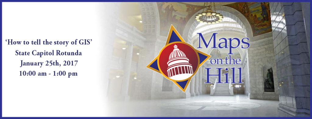
Maps on the Hill will be held on January 25th, 2017 at the Capitol Rotunda. For those of you who are unfamiliar with Maps on the Hill let me describe it for you. Maps on the Hill is an event that lets you put your best geospatial work on display in the ‘Times Square‘ of Government in Utah, the Capitol Rotunda. The rotunda is a beautiful and historic setting you will not soon forget. Your work will also be highlighted in a mapbook that is the de facto who’s-who of Utah GIS.
Still not convinced…
Let’s talk about the who…
Do you know who hangs out at the Capitol Rotunda? That’s right, impact players in Utah Government. Have you ever wanted the chance to show your boss how cool your work is? You’d love to sit down and help the geo-challenged see that spatial light? Well how about getting the opportunity to demo your best geospatial efforts face to face with State Senators or Representatives, or maybe someone from the Governors Office, or a high level Department Director.
Government hoity toities don’t do it for you? How about interested citizens, lobbyists, and a whole bunch of really cool geospatial geeks? They will be there too.
Still not convinced…
Here’s why…
The people who hang out at the Capitol Rotunda influence resource distribution. Those resources impact your geospatial operations, oh and maybe even your paycheck. This is not an exaggeration. In fact it is one of the driving goals of Maps on the Hill. We want Government leaders to see and appreciate the valuable work we do. We want them to know what GIS is and what it can do. When they know the power of geospatial, they think about how GIS can solve the real world issues they face. And when they feel like GIS is a tool they can trust, they will direct resources toward GIS. And that is a good thing.
“Maps on the Hill is only a thing for State GIS Orginizations“…
Are we still having this conversation? Sigh and eye-roll. Here’s how it works, the State is broken up into legislative districts which constitute local representation. Those Senators and Representatives are interested in helping their local constituents. Furthermore, they live in those districts and care about local matters. And it works the other way as well. Federal organizations benefit from State support.
The basic concept is that “a rising geospatial tide lifts all geospatial boats“.
So if I’ve convinced you to come and participate, hit the sign up page and reserve your spot. Further details can be found here. Registration closes on January 5th so be sure to sign up soon.