
Global Mapper is a low cost, fully functional GIS application from Blue Marble Geographics. In this daylong workshop we will explore some core functionality of the software with a particular emphasis on LiDAR and point cloud processing.
The workshop will begin with a basic introduction to Global Mapper that will include navigating the key components of the interface; file and layer management; importing and export data; creating and editing vector data; and working with raster layers.
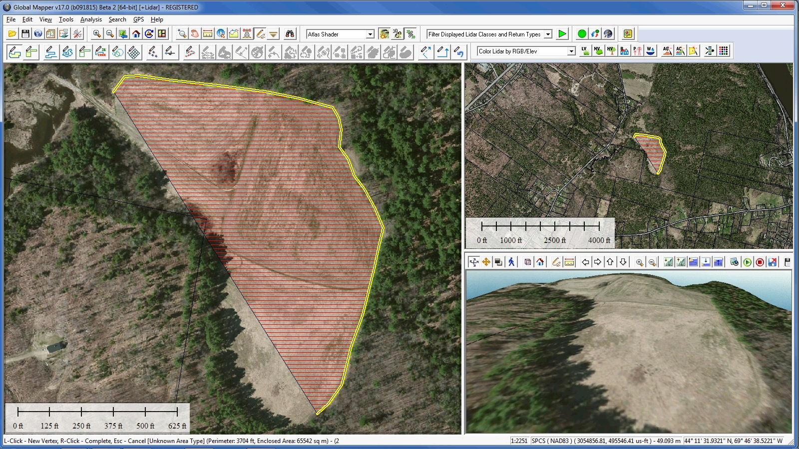
In the afternoon session, we explore the LiDAR and terrain analysis capabilities of the software. We will demonstrate basic LiDAR filtering and editing techniques; automatic ground point detection and reclassification; terrain surface creation; various analysis procedures including watershed analysis, view shed analysis and cut and fill optimization and volume calculation; vector extraction from classified LiDAR points; and 3D visualization options.
This workshop will offer the opportunity for hands-on participation. Attendees are encouraged to bring a windows-based laptop computer to the session. A trial version of Global Mapper, a temporary license file, and all of the required data files will be provided.